
About Us
Historical Background
Shi Yomi District, located in the western part of Arunachal Pradesh, became officially operational on 9 December 2018, emerging as the state’s 23rd district . It was created by bifurcating the northern areas of West Siang district, with its administrative headquarters established at Tato . The district’s formation was intended to bring government administration closer to these remote communities, promoting regional development, infrastructure growth, and better public service delivery.
Location and Boundaries
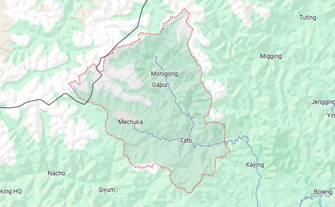
Shi Yomi district is roughly situated around latitude 28.53°N and longitude 94.37°E. It shares its northern boundary with the Tibet Autonomous Region of China, following the McMahon Line. To the west and southwest, Shi Yomi is bounded by West Kameng district, while on the south it adjoins the remaining part of West Siang district. On the east side lie East Kameng and Upper Subansiri districts. This strategic frontier location makes Shi Yomi a vital part of the Arunachal border region, serving as a bridge between Arunachal Pradesh and its neighbors.
Topography
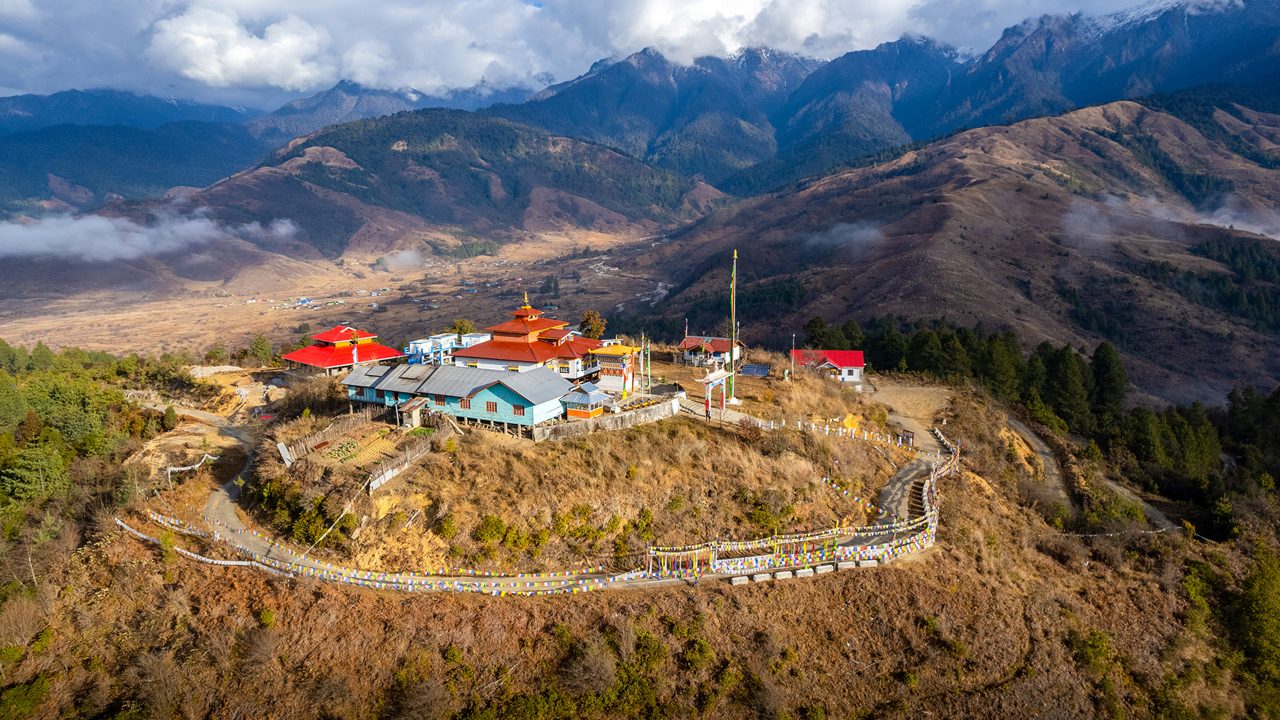
The terrain of Shi Yomi district is predominantly mountainous and rugged. Elevations vary dramatically, roughly from about 600–1,500 meters in valley areas to well above 4,000 meters at the highest Himalayan ridges. For example, the Mechuka valley in northern Shi Yomi is noted for its scenic beauty, featuring “gentle hills [and] snow-capped mountains” along the Siyom River. Dense forests cloak much of the district, transitioning from subtropical woods in the lower valleys to temperate broadleaf and even subalpine coniferous forests at higher altitudes. Rivers have carved deep gorges through the hills, creating fertile valleys. This varied landscape supports terrace farming and horticulture in the valleys, while offering substantial potential for ecotourism and mountain trekking.
People
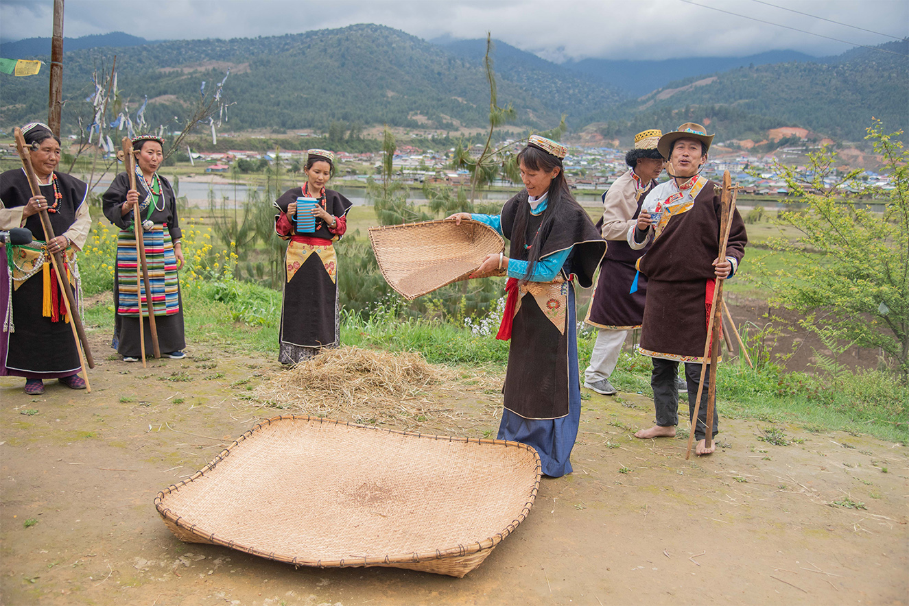
Shi Yomi is home to several tribal communities, predominantly the Adi (including the Bokar, Libo, and Ramo sub-groups), the Tagin, and the Memba . These communities maintain a rich cultural heritage and strong traditions. Indigenous religions like Donyi Polo (worship of the sun and moon) are common, alongside Tibetan Buddhism and Christianity . The people of Shi Yomi are known for their communal harmony and vibrant folk culture. Major festivals reflect their agricultural cycle and beliefs: for example, the Adi celebrate the Solung harvest festival in September, while the Tagin hold the Nyokum Yullo festival (typically in winter). Memba communities observe Buddhist festivals such as Losar (Tibetan New Year). During these festivals, families gather for traditional dances, songs, and offerings to invoke blessings of nature and ancestors for prosperity and good health.
River Systems
The district’s principal river is the Siyom (Siyum) River, which flows north–south through Shi Yomi and the Mechuka valley . The Siyom is a major tributary of the Siang (Brahmaputra) River and provides vital water for agriculture and daily life. In Mechuka valley it creates lush riverbanks and scenic landscapes. Besides the Siyom, several smaller streams and tributaries crisscross the district’s hills. For instance, the Kurung (Tato) River flows through the southern part of Shi Yomi. These rivers supply irrigation for paddy and maize fields and are tapped for drinking water and small hydropower projects. They are integral to local life, serving as natural lifelines and also playing roles in local folklore and community gatherings.
Flora and Fauna
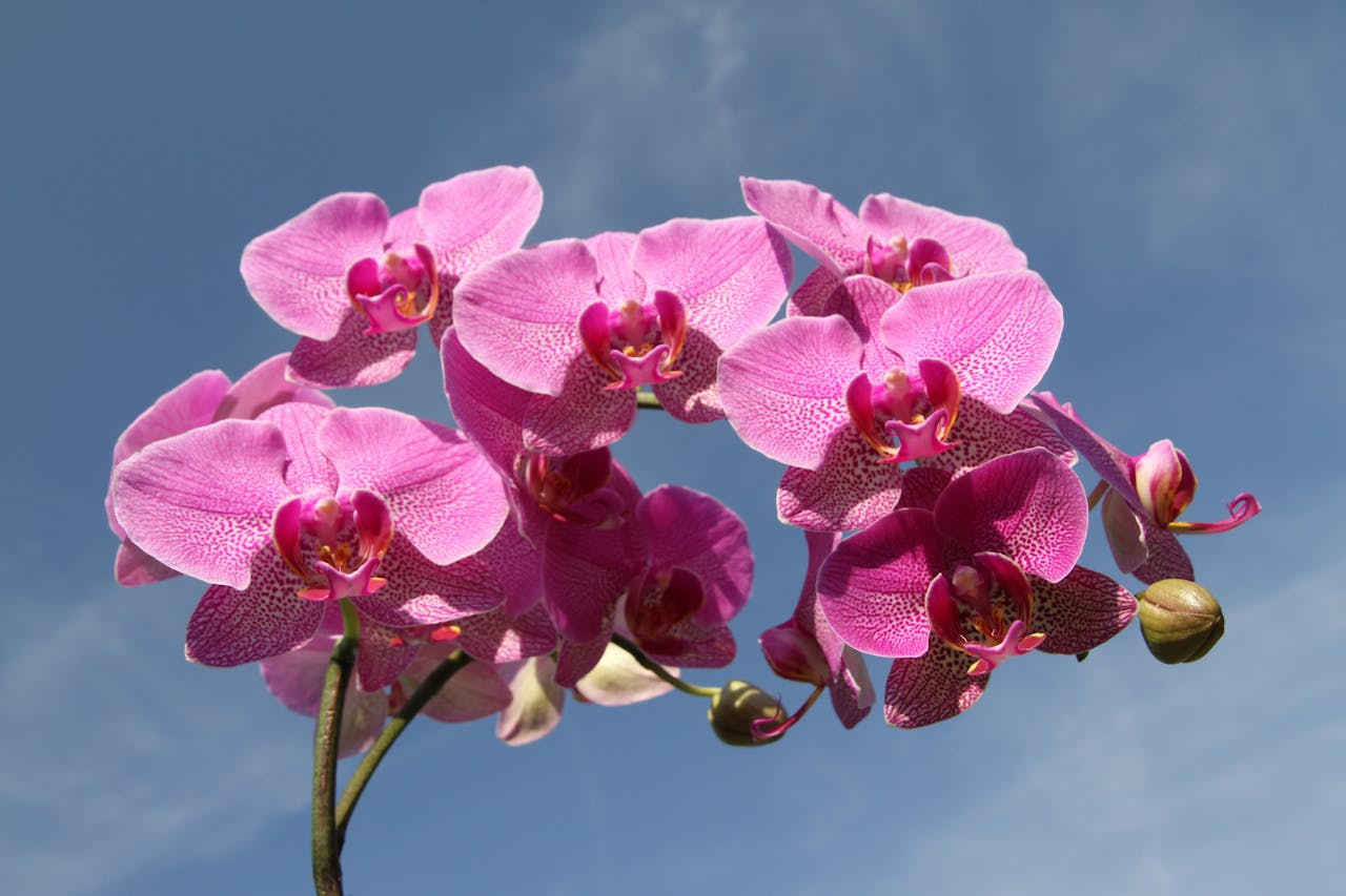
Shi Yomi district lies in the eastern Himalaya biodiversity hotspot. Its forests range from tropical and subtropical types in the lower valleys to temperate broadleaf and subalpine coniferous forests at higher elevations . The vegetation includes rich stands of orchids, rhododendrons, bamboo, and numerous medicinal herbs, along with valuable timber species. Wildlife is diverse: species such as Himalayan black bear, red panda, Mishmi takin, serow, and various deer inhabit the higher reaches. Birdlife is plentiful with pheasants, babblers, hornbills and many migratory species, and the region hosts a variety of reptiles and butterflies. While no large wildlife sanctuary lies wholly within Shi Yomi’s borders, nearby protected areas (such as the Sessa Orchid Sanctuary and Kamlang Wildlife Sanctuary in adjacent districts) help conserve the region’s flora and fauna.
Population and Administration:
According to the 2011 Census of India, Shi Yomi district had a population of about 13,310 people. The district administration is organized into several circles (sub-divisions), including Tato, Mechuka, Pidi, and Monigong . Tato town serves as the district headquarters, hosting the main government offices, police, and public services for the district. These administrative units bring governance and development schemes closer to people in the remote villages, improving access to education, healthcare, and infrastructure.
Climate:
Shi Yomi District experiences a subtropical highland climate (Köppen Cwb) due to its elevation. Summers (May–October) are generally mild and humid, with average daytime temperatures often in the low to mid 20s °C. Winters (December–February) are cool to cold; mean daytime temperatures are around 10–12 °C and nighttime lows often fall to only a few degrees above freezing. Overall, annual temperatures in Shi Yomi typically range from about 2 °C on cold winter nights to around 17 °C in the warmest months.
The district receives very heavy rainfall, averaging roughly 4072 mm per year. The bulk of the rain falls during the summer monsoon: June through September each bring on the order of 600–700 mm per month. The dry season runs roughly from November to April. These monsoon rains are critical for the rice, maize and millet crops that sustain the local agrarian economy. In view of the steep terrain and heavy rainfall, local planning emphasizes watershed management and adaptive farming practices. Understanding these climatic patterns helps communities sustain agriculture and protect the district’s water and forest resources.